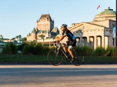
Corridor de la Rivière Saint-Charles

Road Biking


A bike path along both banks of the Saint-Charles River, with a walking trail running parallel to it that extends from the Scott Bridge to the west and east to Samson Bridge. The trail runs for 4.7 km (2.9 miles) on the north side and for 4.3 km (2.7 miles) on the south.

Parking:
Free Outdoor on Site, Outdoor on site for a fee
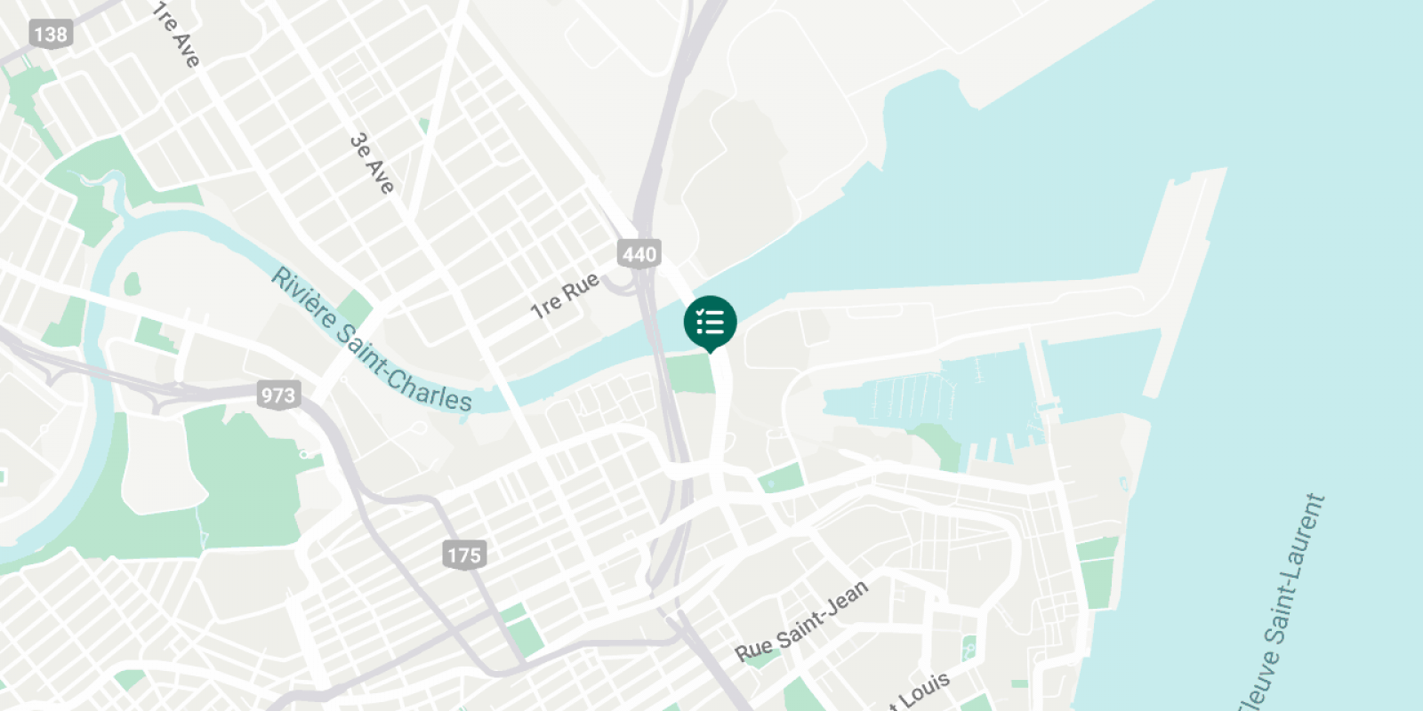
Corridor de la Rivière Saint-Charles

You'll Also Like

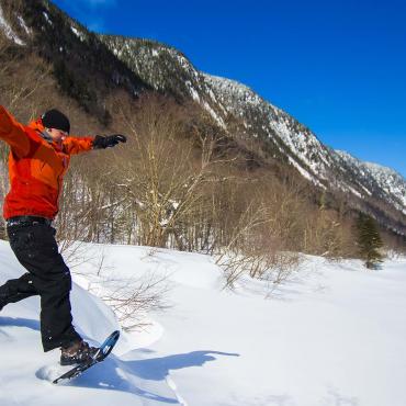
  • Parc national Jacques Cartier
    Top Places for Snowshoeing
    Read
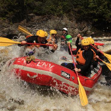
  • Nouvelle Vague Expeditions inc. - descent of La Traditionnelle on the Jacques-Cartier
    The Guide to Whitewater Rafting
    Read
  • Ski Massif de charlevoix
    5 Reasons to Add Skiing Near Québec City to Your Bucket List
    Read
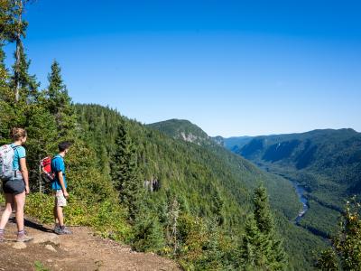
  • A couple hikes on the Scotora Trail in Jacques-Cartier National Park.

    Best Hiking Around Québec City

    Read
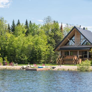
  • Au Chalet en Bois Rond - Lake and cottage
    Rental Cottages and Houses
    Read
  • A family takes pictures with the ice sculptures in the Petit-Champlain district, during the Québec Winter Carnival.
    6 Outdoor Activities for Families
    Read
  • A cyclist rides on a bike path in the Old Port of Québec with the Château Frontenac in the background.

    Québec City Bike Paths

    Read